Apple Maps Flyover Gets AI Sharpening, But Not Yet in Beta
What You Need to Know
- Apple Maps Flyover feature uses AI to sharpen aerial imagery across 350+ cities without new flight missions.
- Visual Intelligence models enhance existing aerial photography to show individual trees and building reflections in detail.
- Flyover has existed since iOS 6 in 2012 but faced complaints about imagery quality lagging behind Google Earth.
- Updated Flyover visuals announced at WWDC 2026 are not yet present in current iOS 27 developer beta.
Apple is upgrading the Flyover feature in Apple Maps using Visual Intelligence models to sharpen aerial imagery, with the company promising detail down to individual tree shapes and light reflecting off glass buildings.
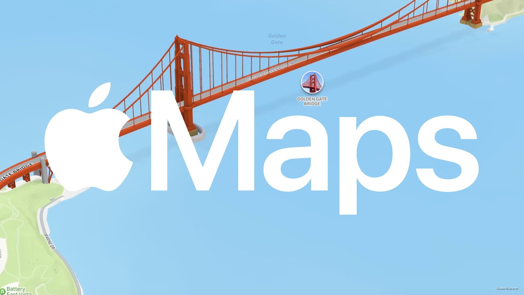
Flyover has existed since iOS 6 in 2012, which makes it one of the oldest showcase features in Apple Maps. For most of that run, the imagery quality has been the most common complaint, with coverage gaps and soft visuals that lagged behind Google Earth’s comparable mode. A Visual Intelligence layer on top of existing aerial photography is a more practical path to improvement than recapturing every city from scratch.
The approach matters because Apple is not describing new flight missions or fresh raw imagery. Instead, the company appears to be applying AI enhancement to existing captures, which would explain how it can promise sharper results across more than 350 cities without a multi-year recapture program.
What’s Actually in the Beta
That promise comes with a caveat. As of the current iOS 27 developer beta, the updated Flyover visuals are not present. Apple announced the feature at WWDC 2026, but announced and shipped are different things, and beta cycles have a way of revealing how much work remains between a keynote demo and a finished product.
The feature set Apple described includes:
- Sharper rendering of tree geometry and foliage
- Improved reflectivity on glass and metallic building surfaces
- Visual Intelligence model processing layered over aerial source imagery
Apple Maps has spent years closing the gap with Google Maps on core navigation, and Flyover has largely been a side feature that enthusiasts use once and forget. Applying the same AI pipeline that powers Visual Intelligence elsewhere in iOS to a legacy mapping feature is a reasonable use of existing infrastructure, even if the keynote framing made it sound more novel than it is.


0 Comments